

In the southeastern corner of Oregon, a hidden wonder shimmers — Lake Abert.
When full, Lake Abert covers 65 square miles and is the sixth largest lake in Oregon. It is as shallow as it is broad, just 5 feet deep on average. It is the only hypersaline lake in Oregon, and one of just three hypersaline lakes in the U.S. (https://onda.org/regions/hart-sheldon-region/lake-abert/)


In an earlier blog, I noted that the lakes in the Great Basin do not have an external outlet to the ocean. As water evaporates, alkali deposits are left.


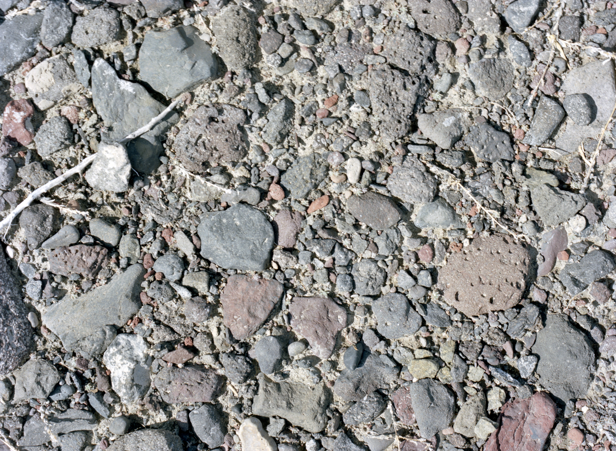
Some areas of the lakeshore display what we would call in the Mojave Desert ‘Desert Pavement’, areas where the flow of water and winds have removed much of the clays and sands surrounding the rocks and small pebbles, providing a solid walkable surface.

These dark areas in the image are groups of alkali flies. The lake is also full of brine shrimp. The two species together provide a great food source for birds travelling from the Great Basin to the Pacific Flyway, a bird migration route that goes from South America to Alaska (https://earthobservatory.nasa.gov/images/150891/shrinking-lake-abert)

These images were created with the Pentax 645, with either the 75mm or 45mm 1:2.8 lenses attached. The film was developed with Cinestills C-41 developer and scanned with the Epson V850, using VueScan software.

