kennedy creek trail on kentmere 400. october 7.

Scroll down to content

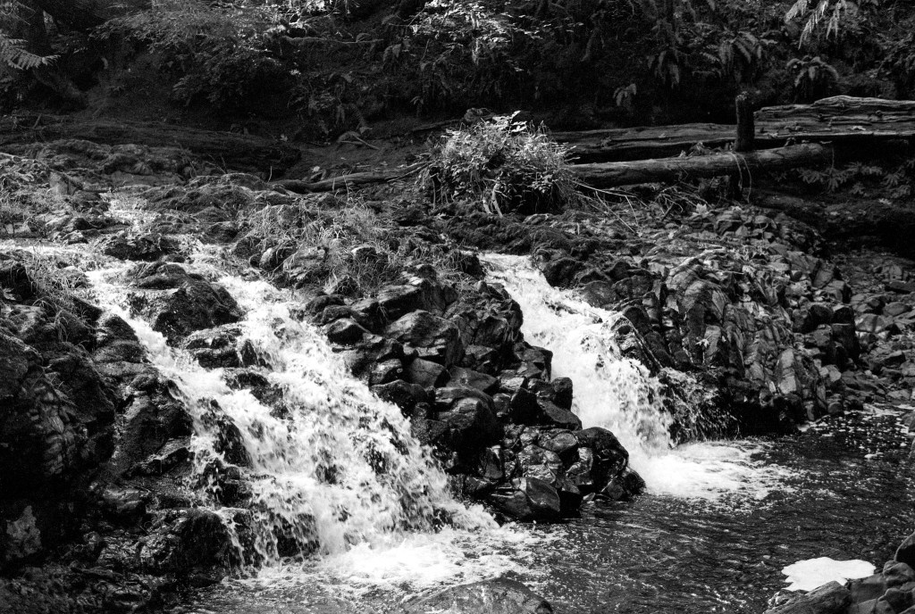
The hike is about 7.3 miles round trip, with an elevation gain of 846 feet. The creek is surrounded by working forests. (https://www.alltrails.com/explore/trail/us/washington/kennedy-creek-falls-from-old-olympic-highway?mobileMap=false&ref=sidebar-static-map)

Looking closely, you will see different areas with stands of trees the same size, denoting similar logging times.

Numbers on certain trees denote a boundary of a particular group of trees to be logged.

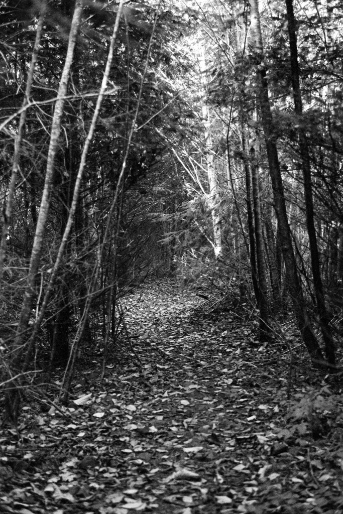
These images were created with the Nikon N90s, with the Nikon 50mm 1.8g lens attached. I developed the film in HC-110(B) for 5 minutes, 15 seconds @20C.

(https://www.youtube.com/watch?v=tRk5ZuQ6Y5o)

Leave a Reply

Fill in your details below or click an icon to log in:

WordPress.com Logo

You are commenting using your WordPress.com account. Log Out /  Change )

Twitter picture

You are commenting using your Twitter account. Log Out /  Change )

Facebook photo

You are commenting using your Facebook account. Log Out /  Change )

Connecting to %s

%d bloggers like this: