
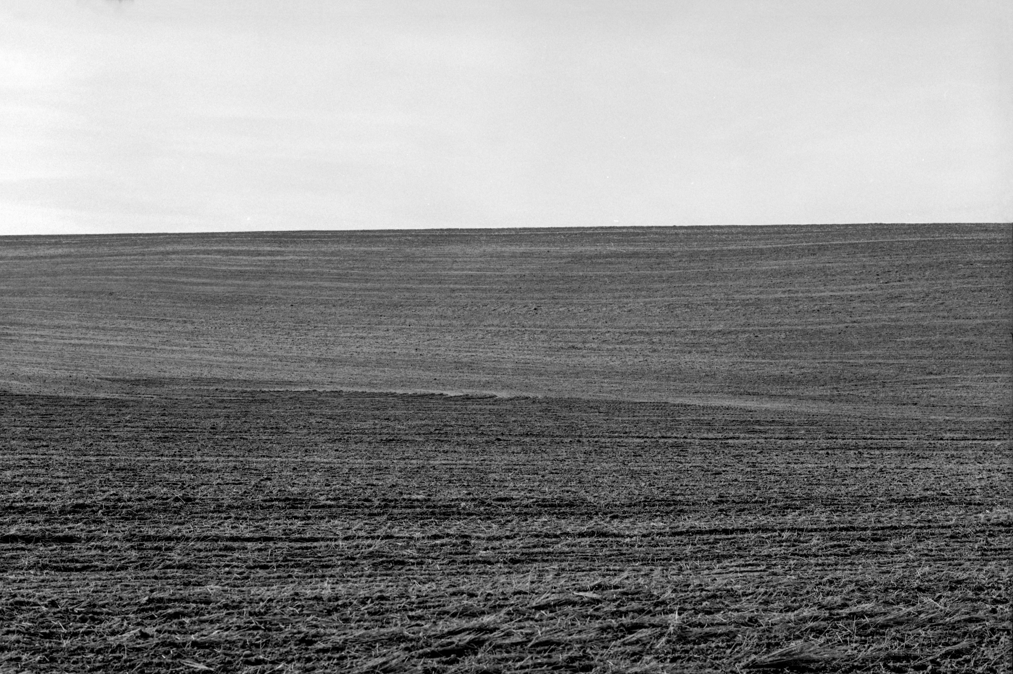
Sprague, Washington, boasts a population of 495 (https://en.wikipedia.org/wiki/Sprague,_Washington). It borders the famous Palouse Region, but the town itself lies in the Columbia Basin. Similar to the Palouse Region, dry farming of wheat is the most important agricultural activity (https://www.youtube.com/watch?v=BSi6RrN9J-g).
.
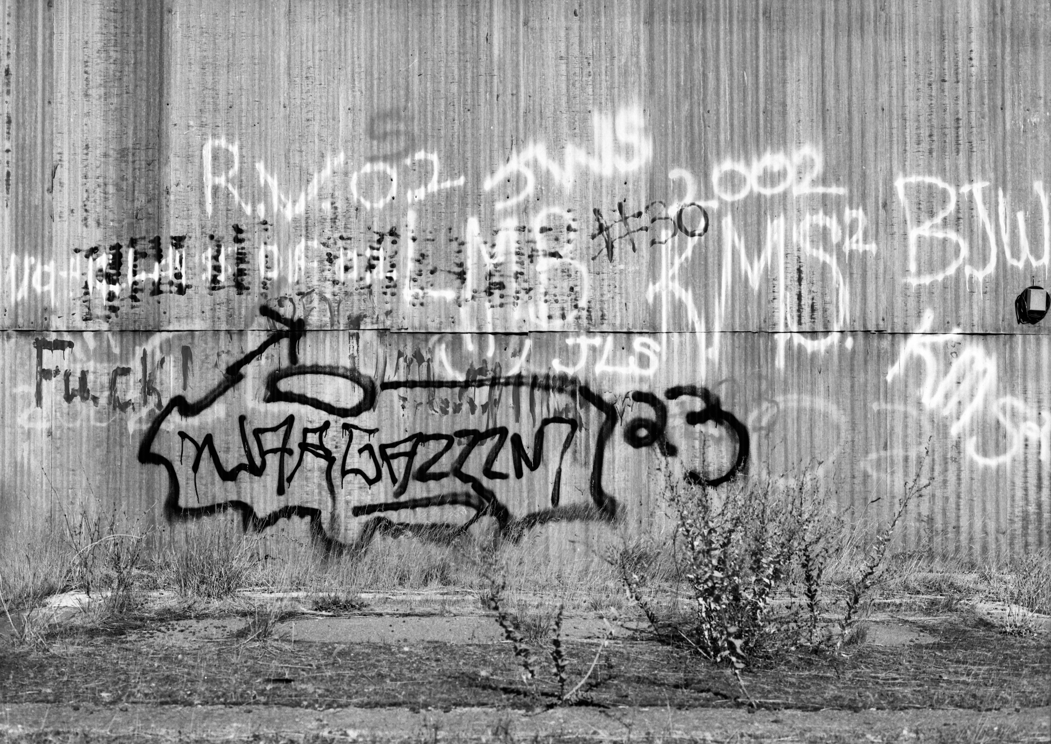
You will find graffiti only on one building. The high school seniors are responsible. This last year, the graduating class numbered 2.
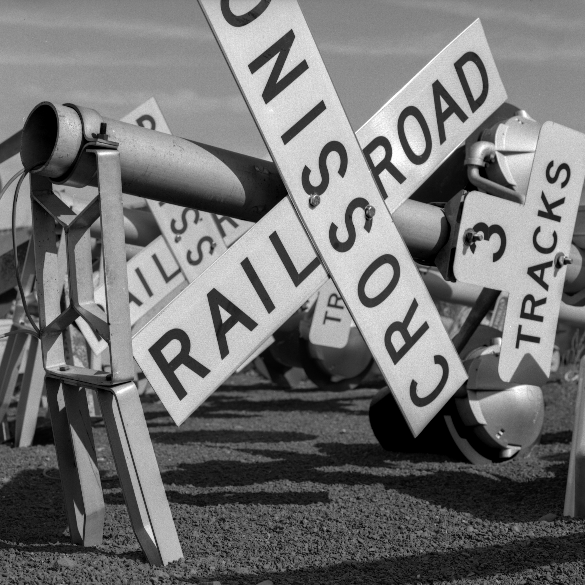
It was once a railroad town. The town was named after an executive of the Northern Pacific Railroad in 1883. Today, the Burlington Northern Santa Fe (BNSF) runs through town.
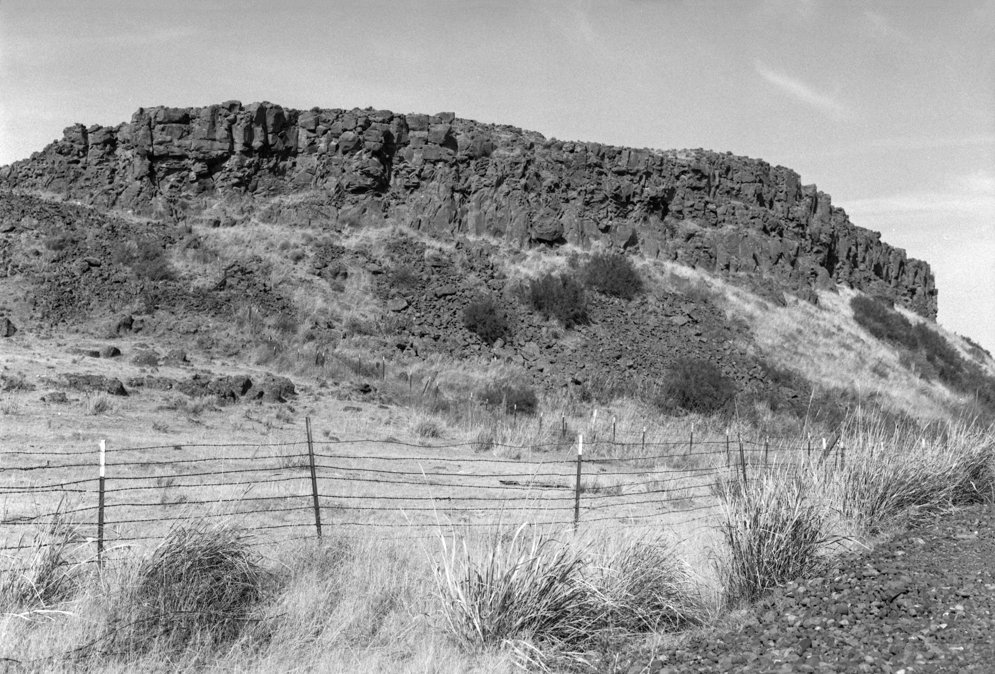
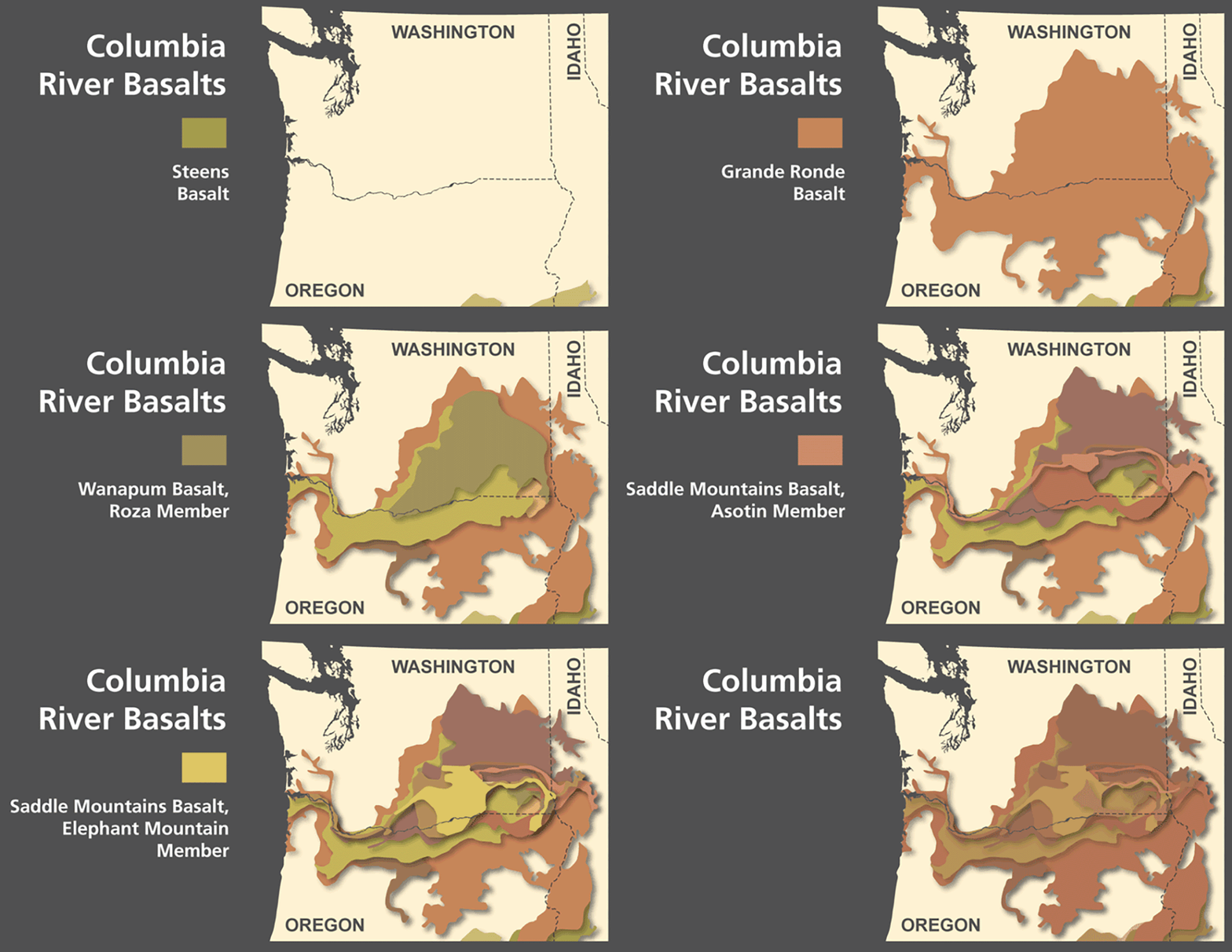
Sprague is located in the Columbia River Basalt Group. Millions of years ago, broad lava flows (flood basalts) poured out from fissures in the earth and became the underlying bedrock of the region. Later, Ice Age floods carved out channels and other formations in the Bedrock. (https://www.thecollector.com/interesting-facts-scablands-washington-state/)
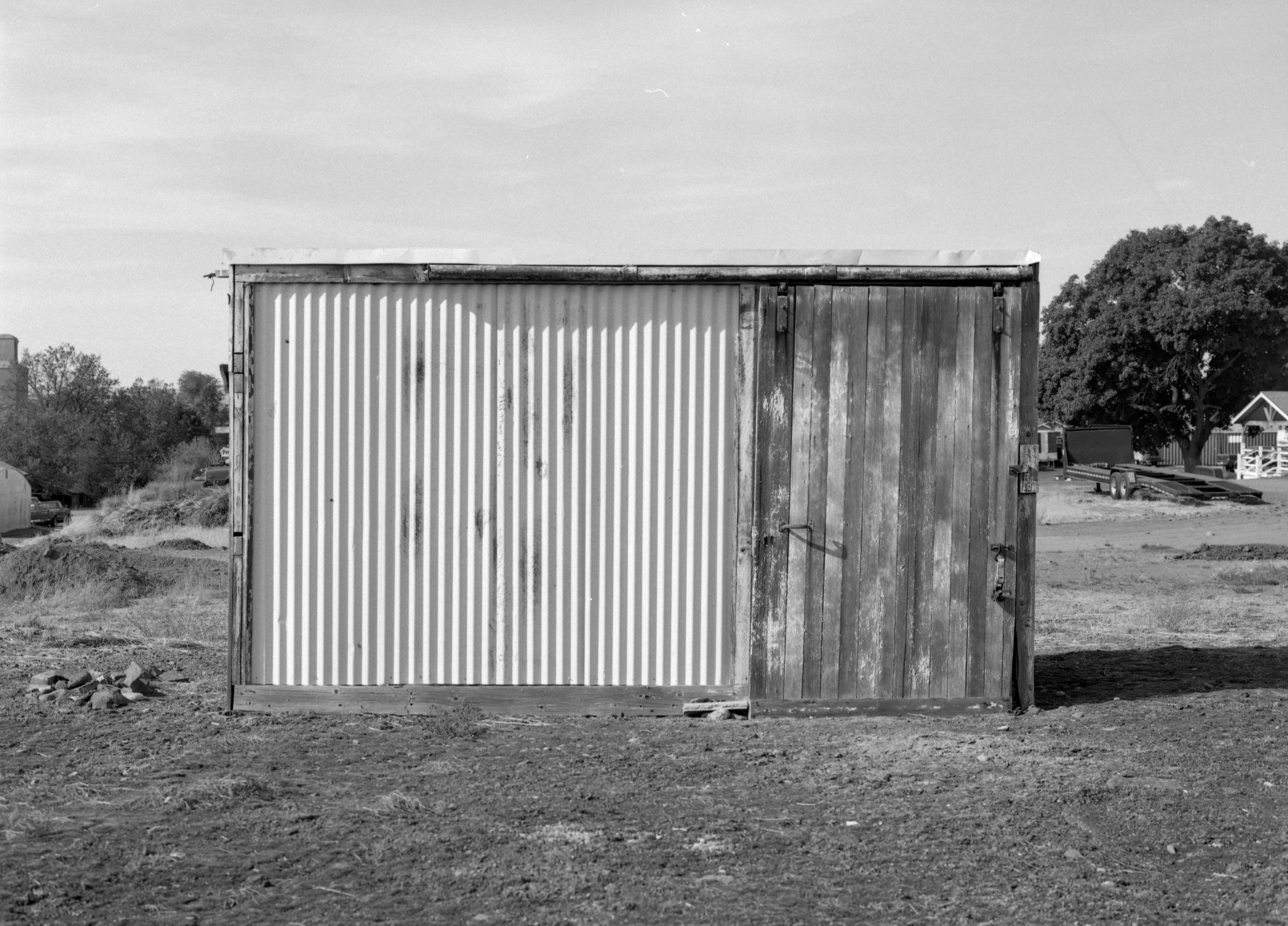
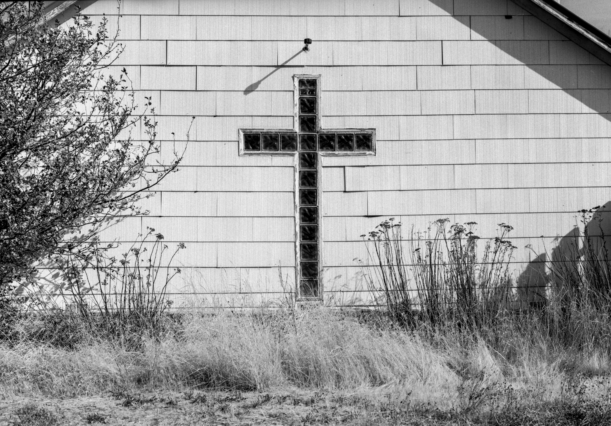
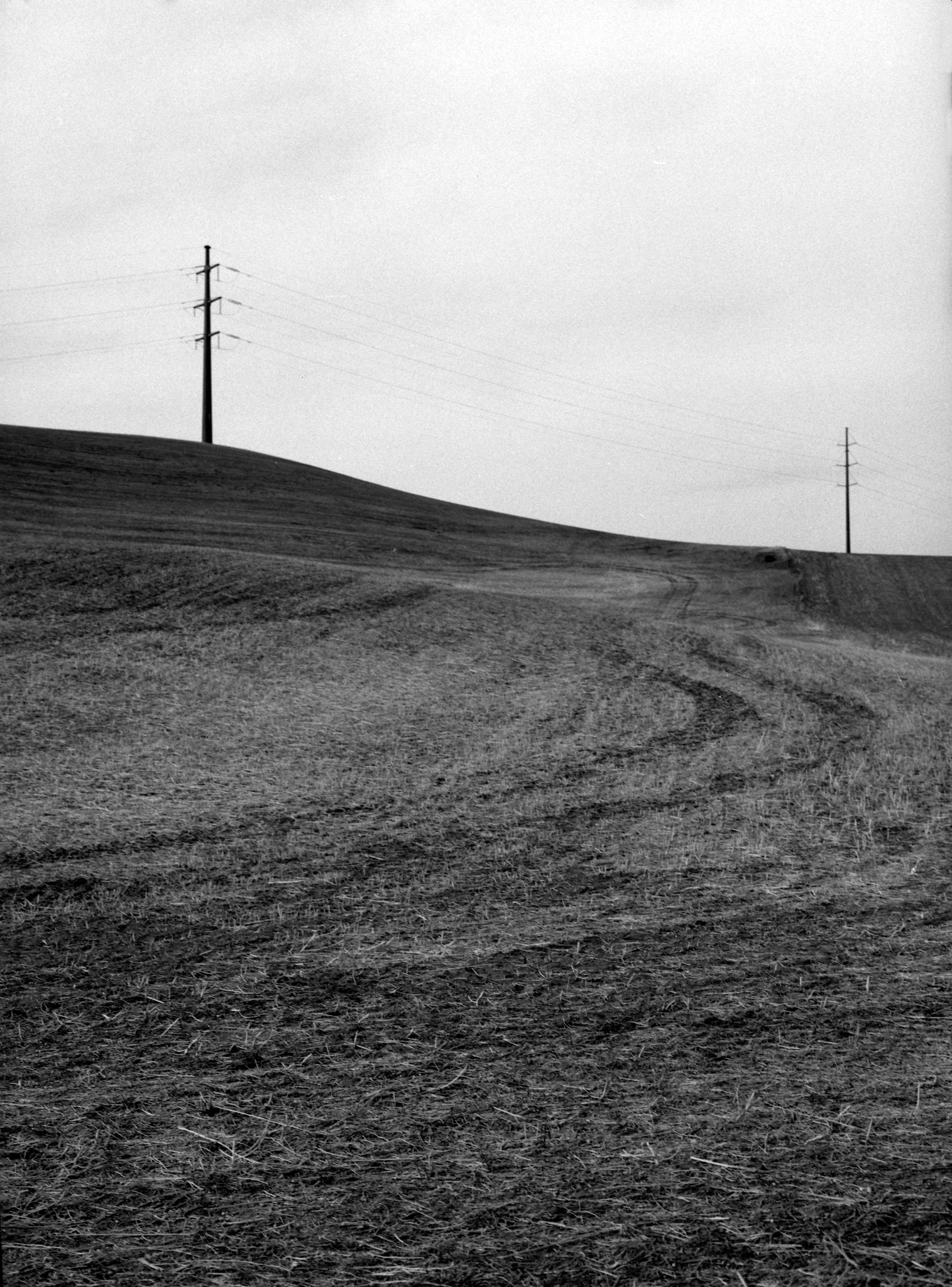
I shot these images with the Pentax 645, with the Pentax 75mm 1:2.8 Lens attached. I deveoped the film with HC-110(B) for 6 minutes @20 °C. I scanned the negatives with the Epson V850 using the Epson software.


I love small towns like this.
LikeLiked by 1 person