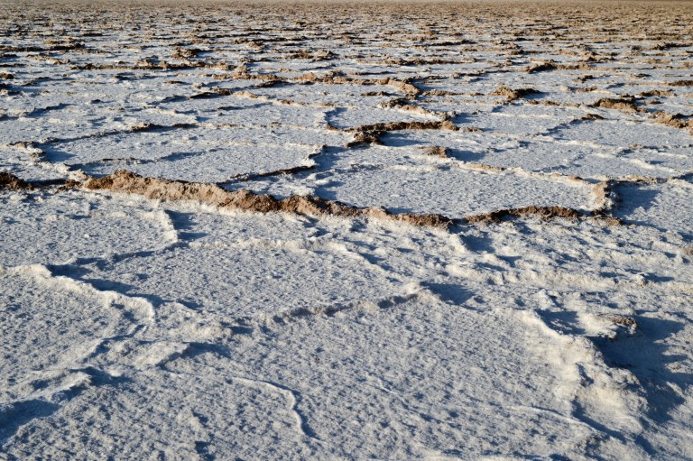
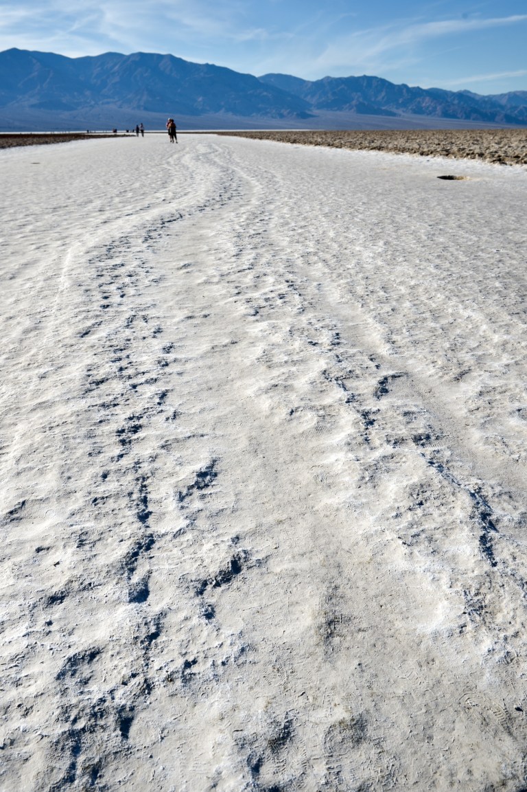
 The conditions are simple. The valley at the location is 282 ft below sea level. The mountains (Panamint Range) bordering the west side tower up to 11000 ft in elevation (Telescope Peak). The mountains on the eastern side (Black Mountains) can claim an elevation of over 6000 feet (Funeral Peak). Any precipitation that falls in these mountains gathers in the valley. To the south, there is a pass between the Black Mountains and the Avawatz Mountains. Through this pass, the Amargosa River flows. Its drains the Amargosa Valley and starts at an elevation of 4000 feet. It is an intermittent river, which is a river that has a flow that is intermittent. What we are talking about is Badwater, located in Death Valley. The water from these sources gathers at Badwater. There is no flow out of the area. The water evaporates and leaves behind the minerals, salt (NaCl) included, that the water is carrying. The area is now a salt pan. Most of the images were created using the Nikon Df. The last image was taken with the Pentax 645N with Kodak Portra 160 and developed at The Darkroom in Southern California.