

Segment #3: 110th Ave SW>Black River (Littlerock) 3.1 miles
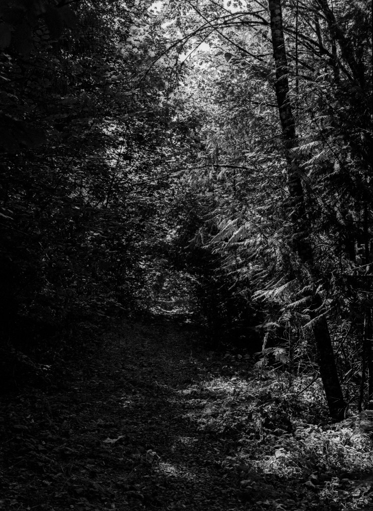
I was hoping to finish the hike on this day. I estimated the trail would conclude at about 6 miles from my location. The first mile or so was dark and gloomy, with trees overhanging most of the trail.

And then there was light.

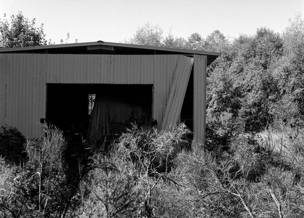
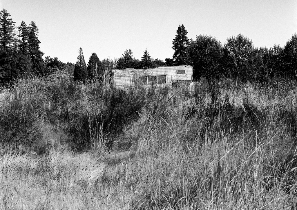
As I neared the town of Littlerock, houses and buildings started replacing the trees.

I was coming up to the Black River. I had traveled up to this point about 9 miles in all and was able to cross the streams and rivers by using the old railroad bridges.

This time there was no way to cross. A fence covered not only the entrance but also the sides of the bridge. I went down to the water, and though I could cross it on foot, a fence paralleled the river on the other side. I thought at the time that Thurston County had erected the fence, but on speaking with one of the property owners nearby, he told me the property owner adjacent to the river had erected it a few years ago.

Next week I will walk the last segment of the trail as an out and back hike.
